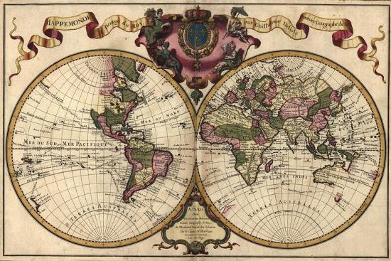
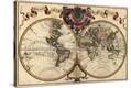
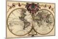
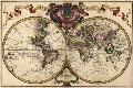
French World Map Shows Nautical Exploration Routes and Political Boundaries, 1720
1- Choose a service Type:
2- Choose Print Size:
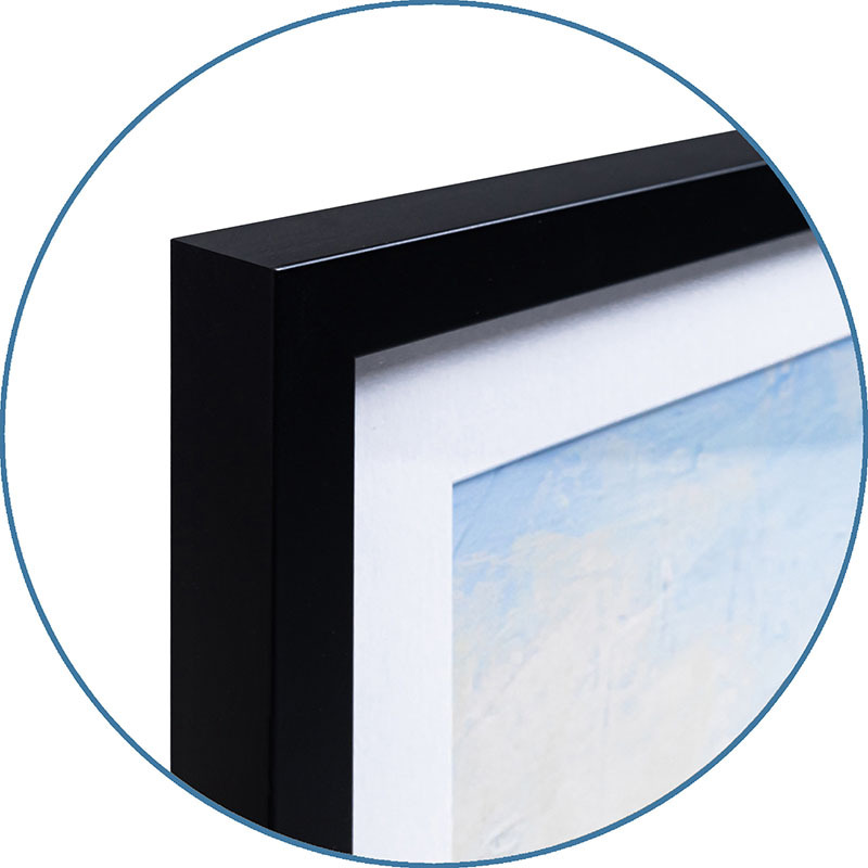
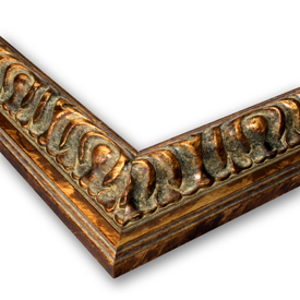
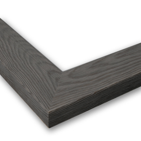
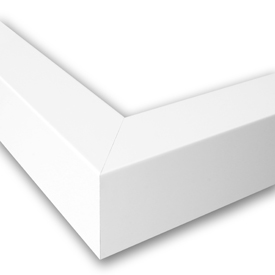
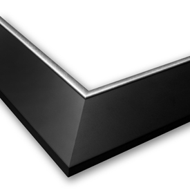
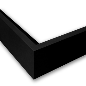
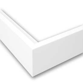
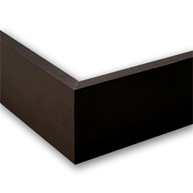
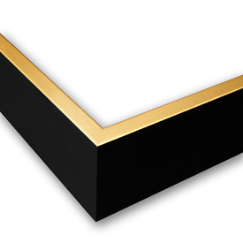
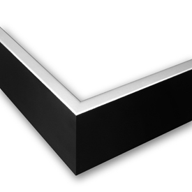
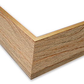
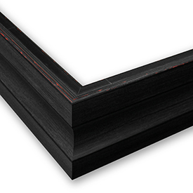
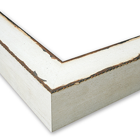
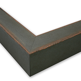
3- Choose a frame:
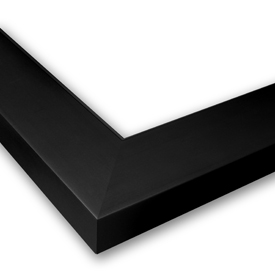
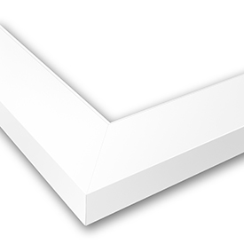
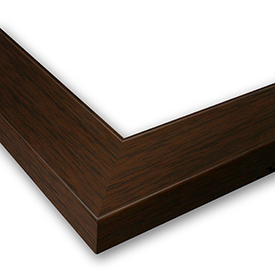
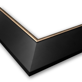
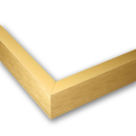
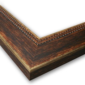
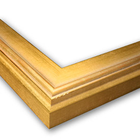
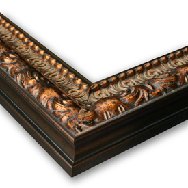
Our full range of customization options are now available, click “See More Frame Options” above to explore.

BUY JUST THE PRINT
(Image 36" x 24")
$36
2- Unframed Canvas Size:
Finished Size:
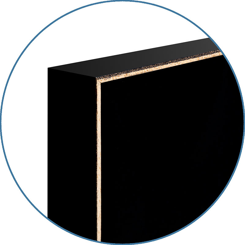
3- Choose a frame:
Our full range of customization options are now available, click “See More Frame Options” above to explore.
Our canvas is professionally hand-stretched and layered with protective ink for a museum-grade finish.
UNFRAMED CANVAS
$129
2- Choose Print Size:
Finished Size:
Permanently bonding an image to a thick piece of hardboard and adding a protective laminate creates this mounted print.
WOOD MOUNT
$138
This laminated poster is enclosed behind a clear sheet of long-lasting laminate film.
LAMINATE
$61
$36
Arrives by Wed, Jun 4 to 66952

$36
36" x 24" - Art Print
36" x 24" - Art Print